The Family Activity Trail has been created by The Friends of Limpsfield Common with the approval and assistance of The National Trust and with the support of The Titsey Foundation. We are grateful to the Chart Fair Committee and Oxted Rotary, which have donated the funds required to establish the Trail.

Starting point: National Trust High Chart car park, Moorhouse Road, Limpsfield Common, RH8 0TW
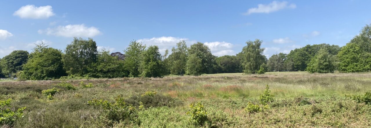
The Trail is 1.2 miles long. It runs on paths and through wooded areas and depending on the weather, some of the route could be wet and muddy so not suitable for buggies. Be aware that cyclists and horse riders may be using the bridleways.
One of your tasks is to try and find where the Trail goes, so you need to look for the arrows on posts.
Some posts also have numbers that relate to the information you can read in this guide as you go along.

The Trail and what to look out for…
How many different birds can you see as you walk along the Trail?
Facing away from the road, head along the path diagonally left into the woods until you come to a small open area with a steep bank on the right.
1. Is this natural or man made? Why can you see sand here?

We are on the Greensand Ridge.
The Lower Greensand is a predominantly sandstone, consisting of sediment that accumulated in a shallow sea in the later part of the Lower Cretaceous period. It also contains elements of silty material, chert, ironstone and calcareous deposits. When fresh the rocks have a greenish colouration owing to the presence of glauconite, but on exposure to the atmosphere this is rapidly oxidised to give a yellow or reddish brown staining.
Look for two sets of initials GR on the trunk of a large beech tree. To what could these refer?

G R probably stands for George Rex (Rex being Latin for King). Given the height at which the initials have been carved, they probably refer to King George V, who was King from 1910 to 1936. George was the son of Edward VII who came to the throne upon the death of Queen Victoria in 1901.
Follow the narrow path through the wood, there are plenty of fallen trees to play on. As you follow the trail, count how many squirrels you see. Look out for the next marker post.

2. We are now very close to where there was a Roman Road, which was built to link Southwark in London to the South Coast near Lewes. Trees have long since taken over this area of Limpsfield Common. The route of the Roman Road descends the North Downs just east of Clacket Lane and crosses the Chart to Scearn Bank and proceeds onwards passing very close to Trevereux to become the B269/B2026, the road which forms the spine of Edenbridge (S. Corke)
Now turn right along a track and then half left at the next waymark post. Go ahead to a sunken path where you should turn left towards a pond.

3. This is called Yalden Spring.
Stay on the main path and look across to a large beech tree, beside this is a spring, but during dry periods the water may not be flowing.
The Spring is where some of the Chart villagers did their washing in the clear cool spring water. The stream feeds the headwaters of the River Darent.
In olden times most cottagers reared a pig and commoners were given the ‘Right of Pannage’ and put out their pigs in Autumn to forage for acorns and other fallen nuts in the woods. This was often referred to as the pigs ‘Going Nutting’. A Pig would be killed for Christmas and on the day that this was done, the children were sent on a picnic at Yalden Spring.
Now cross the board walk and up to signs denoting the boundary between National Trust land and that of The Titsey Foundation. Turn right and walk along a wide track.
Why is this track so wide?
4. Much of the Titsey Foundation land on the High Chart is forestry plantation. The tracks were created to slow or stop the outbreak of a wildfire and also for access by vehicles.

There is plenty of scope for hide and seek on your right. Are there any fallen trees here? Which creatures will be making their homes there? Can you make a small home for insects using fallen branches or logs.
Take the second track on the right and walk uphill

5. Have you ever made a work of art from natural materials?
See if you can find twigs, pine cones, leaves, pebbles etc. What can you make and leave for others to admire?
Continue along the track.
Do you see the small bank on your right?

6. This was the boundary of a deer park that was created in 1616 under the orders of Sir Thomas Gresham, Lord of the Manor of Titsey. The area of the deer park was 400 acres surrounded by a bank (much higher than it is today!) and beech trees were also planted along the boundary. The beech hedges were ‘laid’ or laced to form a barrier to enclose the deer and wild boar. Beech trees were planted for beechnut and shade. The hedge, no longer maintained, has been allowed to grow into trees. There is another section of the boundary visible after Point 7.
In these woodlands, the large trees that are deciduous (that is to say that they shed their leaves in winter) will be beech and oak. Can you tell the difference?
A good way is to look at their leaves.


Continue along the track until reaching a post with arrow pointing to the right. Find the next post and head through the woods with the bank on your left.

7. Try building a den with all the fallen branches. Do you see that the trees on the other side of the bank are different? This is known as a coniferous woodland. The trees are evergreen with needles instead of leaves. Most coniferous woodland in Britain will have been planted for timber production.

Can you spot a nest made by wood ants? But don’t touch!
A colony of wood ants can produce a dome-shaped nest that can reach nearly 10 feet in diameter and 4.5 feet in height. Nests are thatched with twigs, stems, grass blades and conifer needles. The resulting formations soak up sunlight and keep the ants warm.
Turn right and continue on path through the wood where there are plenty of opportunities for hide and seek and climbing on fallen trees.
Look out for fungi on the ground or on trees. What are they doing? What is their food supply?
Often used to illustrate fairy tales and associated with folklore, fungi remind us of mythical creatures, favourite stories or childhood characters. From rock hard, black fungi named after the legend of King Alfred’s burnt cakes to tiny orange fungi that look like little pieces of orange peel, the breadth and variety of British fungi can be astonishing. They come in many shapes and sizes and can be found by looking high and low, particularly in woodland. Their names can be simply descriptive or intriguing, reflecting past times and legends. However there are some that are poisonous, so look, but don’t touch.

The next post may be difficult to find but keep looking. That will take you down to the right. Follow it to meet a cross path, and continue ahead to reach a bridleway where you should turn left.
Keep going until passing a Greensand Way marker post, then turn half right into woodland and up a small bank. Turn left at the next marker post and you are in an area of ‘humps and bumps’!
8. Now the task is to find your way out of this magical woodland maze.

Look for the posts marked with arrows. This will eventually lead you to a track, turn right to reach the main footpath and turn left back to the start point.
We hope that you enjoyed your walk.
You can also gind the trail on the Outdoor Active app. https://out.ac/IABr7Z

Have you discovered the other areas of Limpsfield Common?
Have a look at the map on the National Trust Information Board in the car park.
Support Limpsfield Common – join the Friends of Limpsfield Common by contacting friendsoflimpsfieldcommon@gmail.com
Follow us on Facebook – Friends of Limpsfield Common